
Four Ways Air Rises - The Hidden Mechanics Behind Clouds, Storms, and Weather
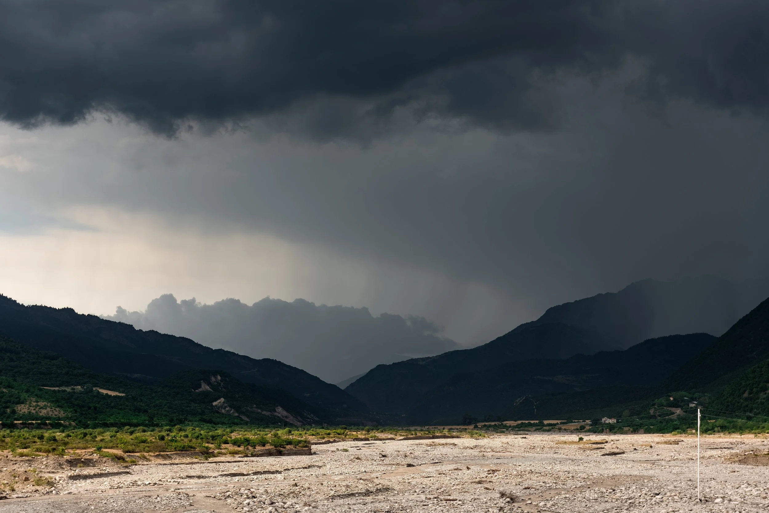
Storm clouds over a mountain caused by lifting. of the air. Image from Envato
Bill - The Wx Learner - November 12, 2025
If you’ve ever watched a thunderstorm form on a summer afternoon or seen snow bands form over the Great Lakes, you’ve witnessed one of the most fundamental processes in meteorology: air being lifted into the atmosphere.
Rising air is what powers nearly everything that makes weather. When it lifts, it expands and cools. If it cools to its dew point, moisture condenses into tiny droplets or ice crystals. Enough of those droplets and you’ve got a cloud. If the rising continues, that same cloud can build vertically, producing showers, thunderstorms, or entire storm systems.
So what makes air rise in the first place? The main mechanisms are grouped into four categories: convective lifting, orographic lifting, frontal lifting, and convergence. Each one works differently, and together they explain why some regions get storms while others sit under a gray sheet of drizzle.
Convective Lifting: Rising Heat from the Surface
This is the simplest way air rises: the surface heats unevenly.
Imagine fields, forests, and asphalt under the same midday sun. Dark pavement absorbs more heat than the grassy field next to it, warming the air above it. That warmer air becomes less dense and starts to rise. As it rises, it expands (because air pressure decreases with height) and cools. When it cools to its dew point, condensation begins, and a cumulus cloud appears.
These clouds often mark zones of instability, where the atmosphere encourages upward motion. On summer afternoons across the Great Plains, localized convection often begins small but can grow explosively into towering cumulonimbus clouds. That’s how isolated thunderstorms develop.
Convective lifting is also a key player in tropical climates, where intense sunlight and abundant moisture drive daily thunderstorm cycles. Even modest temperature contrasts can spark rising motion when the air is humid and unstable.
In short: warm air rising from below is nature’s simplest way to make weather.
Orographic Lifting: When Air Meets a Mountain
Sometimes air rises because the terrain leaves it no choice.
When wind encounters a mountain range, it can’t go through the terrain, so it’s forced up and over. As it climbs the windward slope, the air cools adiabatically (without losing or gaining heat from its surroundings). Cooling leads to condensation, clouds, and often precipitation.
This process explains the contrast between wet and dry sides of mountain ranges. On the west side of the Rockies, moist Pacific air rises and cools, forming precipitation. Once that air crosses the peak, it descends down the leeward slope. As it sinks, it warms again and dries out, creating a rain shadow.
Orographic lifting doesn’t only happen with giant mountain ranges. Subtle elevation changes, such as the Allegheny Mountains, can enhance snowfall or rainfall when winds blow from the right direction. During cold northwest flows over the Great Lakes, for example, uplift on the higher terrain inland helps intensify lake-effect snow bands.
Frontal Lifting: The Collision of Air Masses
Fronts are boundaries between air masses of different temperatures and densities. They’re where weather often happens, and lifting is the reason why.
When a cold front moves into an area of warmer, lighter air, the heavier air undercuts the warm air. The warm air is aggressively forced upward along the frontal boundary. Because the lift is abrupt, the rising air cools rapidly, producing narrow bands of showers or thunderstorms.
Warm fronts behave differently. The warm, lighter air moves toward cooler air and glides up and over the dense cold air mass. The lift is gentle and spread out over a wide area. Because of that gradual lift, warm fronts usually bring broad layers of clouds and steady, longer lasting precipitation.
A stationary front can act as a persistent lifting zone if air flows converge along it. An occluded front combines both warm and cold front dynamics and often marks areas of heavy precipitation.
Convergence: When Winds Collide
The fourth mechanism doesn’t depend on temperature contrasts or topography, it’s all about air flow.
When winds collide at the surface, the air can’t go sideways anymore, so it goes up. This upward motion along a zone of convergence promotes cloud and storm development, especially when moist air is present.
You see convergence in action all over the planet. In tropical areas the Intertropical Convergence Zone (ITCZ) encircles Earth near the equator where trade winds from the Northern and Southern Hemispheres meet. This creates rising air almost daily, causing thunderstorms and heavy rains. In Florida, winds from the Gulf and Atlantic collide inland, creating storms. And in the Great Lakes region, when cold air blows across the warm lakes, converging winds can create narrow, intense bands that can dump feet of snow.
It is important to note that when convergence happens in the upper atmosphere, the opposite happens, air sinks. I will be covering this in a future post
Putting It All Together
In many systems, these four mechanisms work together. A cold front approaching a mountain range can combine frontal and orographic lifting. A tropical system has both convective and convergent lift working simultaneously. Even small local events often involve a mix of orographic enhancement, surface convergence, and convection.
They all depend on instability. The less dense an air parcel is compared to its surroundings, the more it will rise. The atmosphere’s vertical temperature structure tells forecasters how strong that instability is and how intense the resulting weather might be.
Why This Matters
Understanding how air rises gives you the blueprint for nearly every weather pattern you’ll ever analyze. It explains why the West Coast is wet while the interior West is arid. It’s why a warm front brings all day drizzle but a cold front can produce a sudden thunderstorm. It’s why the tropics thunder daily while deserts have clear skies.
For forecasters, identifying how the air is being lifted is the key to predicting what happens with the weather.
So the next time you look up at building cumulus clouds or watch a radar loop of storms along a front, remember that air is being forced to rise.