What Is the Jet Stream? The River of Air That Shapes Our Weather
Global visualization of the wavy jet stream. Image from NASA
Bill - The Wx Learner - November 3, 2025
Ever notice how storms seem to follow a west to east pattern? They’re guided by a powerful current high above our heads called the jet stream.
The jet stream is like a river of fast-moving air. It doesn’t stay in one place or flow in a straight line. Instead, it bends, twists, and loops, and those bends decide whether we’re basking in warmth or bundling up for an Arctic blast.
What the Jet Stream Really Is
More specifically, the jet stream is a narrow band of strong winds that circles the globe in the upper atmosphere at around 30,000 to 40,000 feet. The average speed of the winds is over 100 mph but can exceed 200 mph.
It forms where cold polar air meets warm subtropical air. That sharp temperature contrast creates a steep pressure difference, and air naturally accelerates along that boundary. Think of it as the atmosphere’s steering wheel, guiding where storms travel and how weather patterns evolve.
It also exists because of the Coriolis effect, which causes air to curve to the right in the northern hemisphere (left in the southern). That deflection helps shape the west to east flow of the jet stream.
It’s Never in a Straight Line
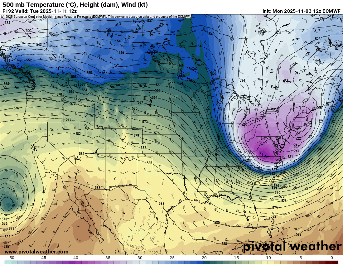
The jet stream doesn’t flow evenly around the Earth. It meanders north and south in large waves called Rossby waves. This forms ridges, where warm air pushes north, and troughs, where cold air dips south.
Even in its straightest form the waves still slightly ripple across the map. The atmosphere is never in balance. Temperature and pressure gradients are always shifting, causing those gentle bends
Those waves are what create the patterns we see on weather maps every day.
If you’ve read my post on Troughs and Ridges, this is exactly where those features come from. They’re part of the jet stream’s natural rhythm.
How the Jet Stream Impacts Our Weather
The jet stream acts like a conveyor belt. Storm systems tend to follow along its path, using it as both a guide and a source of upper-level energy.
When the jet stream bulges to the north, warm subtropical air floods in. Temperatures rise above normal and conditions often turn drier. This northward shift is a common cause of heat waves.
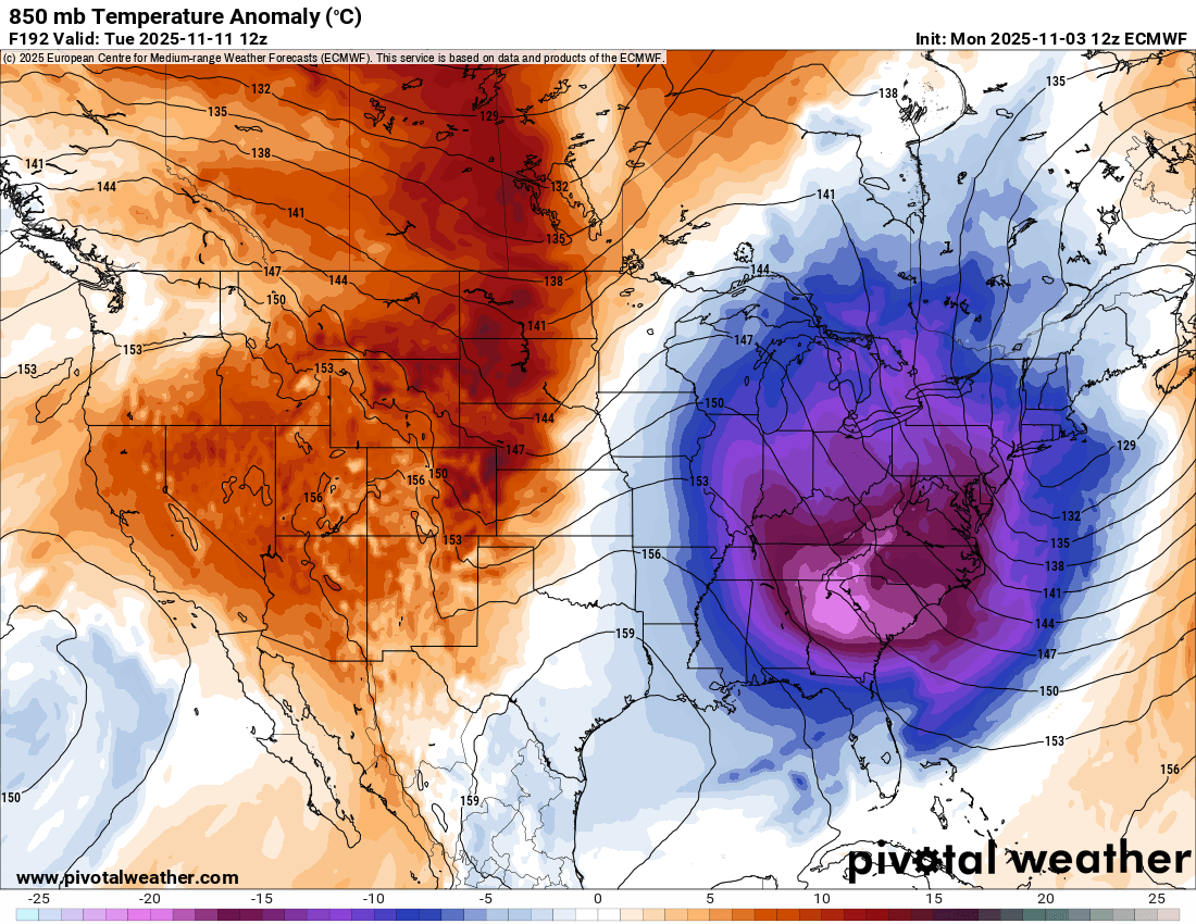
When the jet stream dips south, Arctic air masses can plunge into the region. Temperatures drop and storm chances rise since they typically follow the jet stream. These dips are what bring snow to the southern U.S. and the subzero blasts the Great Lakes often endure in the winter.
If the jet stream becomes blocked, it can lock weather patterns in place, leading to prolonged periods of extreme cold, heavy rain, or even droughts.
Even subtle changes in the jet can make a huge difference in the weather. A 200-mile shift north or south can completely change whether you see rain, snow, or sunshine.
Two Types of Jet Streams
There are two jet streams in the northern hemisphere: the polar jet stream and the subtropical jet stream.
The polar jet stream is the one that primarily affects our weather in the U.S. It is the stronger of the two and usually strengthens and dips farther south in the winter. In the summer it weakens and moves north.
The subtropical jet forms closer to the equator and at a higher altitude (around 40,000 to 43,000 feet). It is weaker and has more consistent wind speeds and position. It has less of an impact on surface weather but is a major contributor to bringing tropical moisture to the southern U.S. This can cause heavy rain and strong storms if it interacts with the polar jet.
Jet Streaks: The Speed Bursts Aloft
Within the jet stream are areas of even faster winds called jet streaks. If you picture the jet stream as a river, the jet streak is the part of that river with the fastest current. When air enters the jet streak it accelerates, and when it exits it decelerates. This creates divergence and convergence aloft.
Divergence is the spreading out of air, which causes the air below to rise. This lowers surface pressure and creates favorable conditions for severe weather to develop.
Convergence is the air piling up, causing sinking air below. This leads to rising surface pressure, which usually brings fair conditions.
When a jet streak lines up just right, it can enhance lift and dramatically intensify a low pressure system. I’ll be exploring this more in depth soon in a post about jet streak quadrants.
300 mb image of the jet stream over the U.S. The yellow and gold area is the jet streak. Image from Pivotal Weather
The Jet Stream Over Erie
Here in Erie, the jet stream is one of the biggest drivers of our day-to-day weather. A deep trough over the Great Lakes can keep us in a cold, unsettled pattern for days and bring lake effect snow. A ridge can bring sudden warmth in winter.
The first thing I look at when forecasting is the 300 mb wind map. This is the level of the atmosphere where the jet stream roars. Once you spot the jet streak within it, you can usually tell where the next surface system will travel.
Finding Balance in the Atmosphere
The jet stream is another one of the atmosphere’s ways of finding balance. It redistributes energy by moving heat from the equator toward the poles and cold air toward the equator.
Every dip, surge, and ripple are all part of the atmosphere’s ongoing search for equilibrium.
Once you understand how the jet stream moves, the weather starts to make sense. You start to see a pattern in how the atmosphere behaves. And that’s what weather really is: the Earth constantly trying to find balance.
If you enjoyed this post and want to see what causes weather, check this post out.


